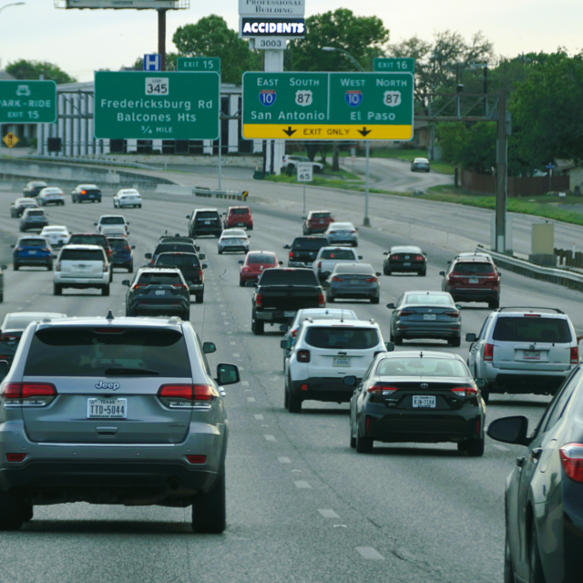
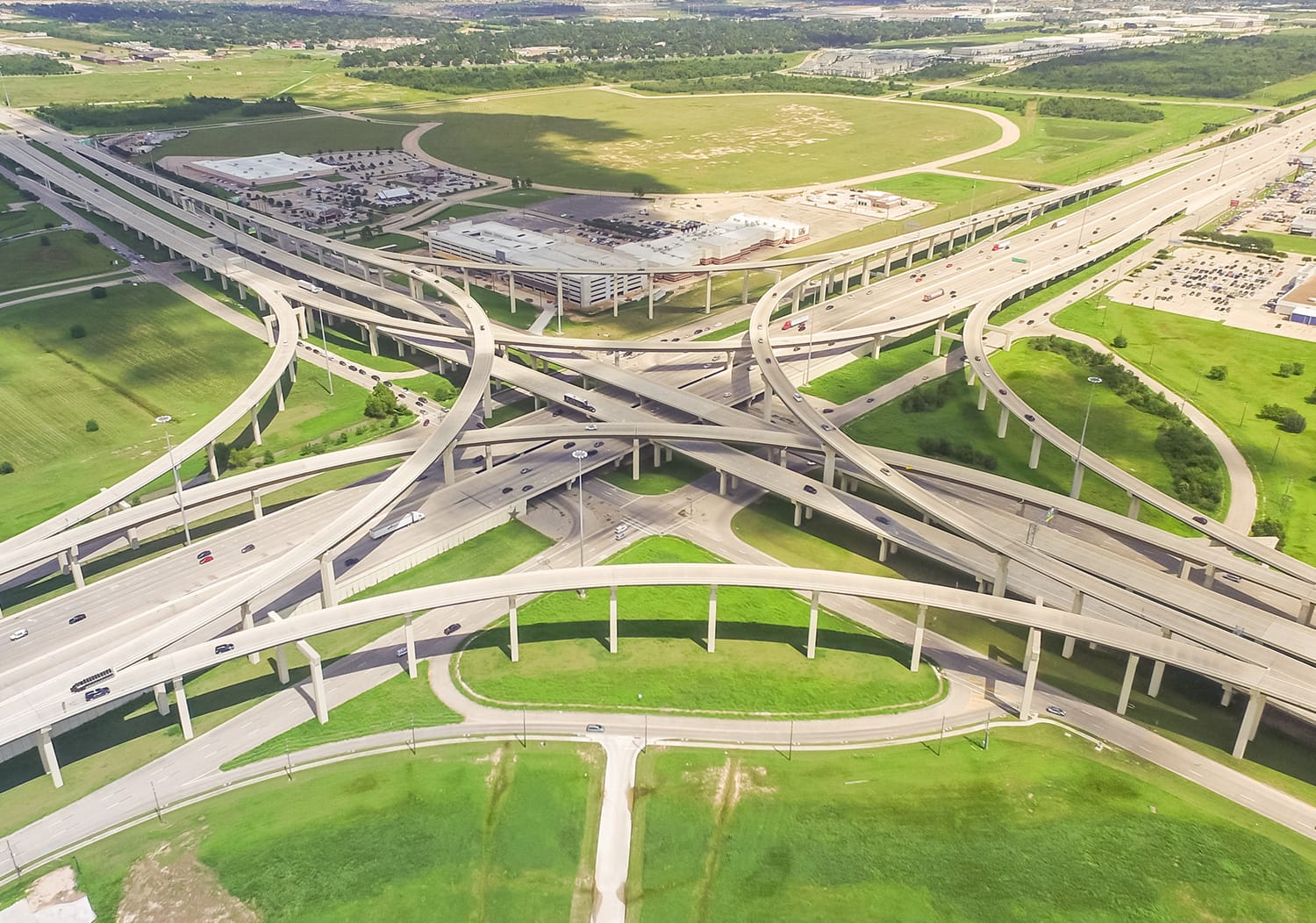
26
Number of lanes on the I-10 in Katy, TX, the widest highway in the world
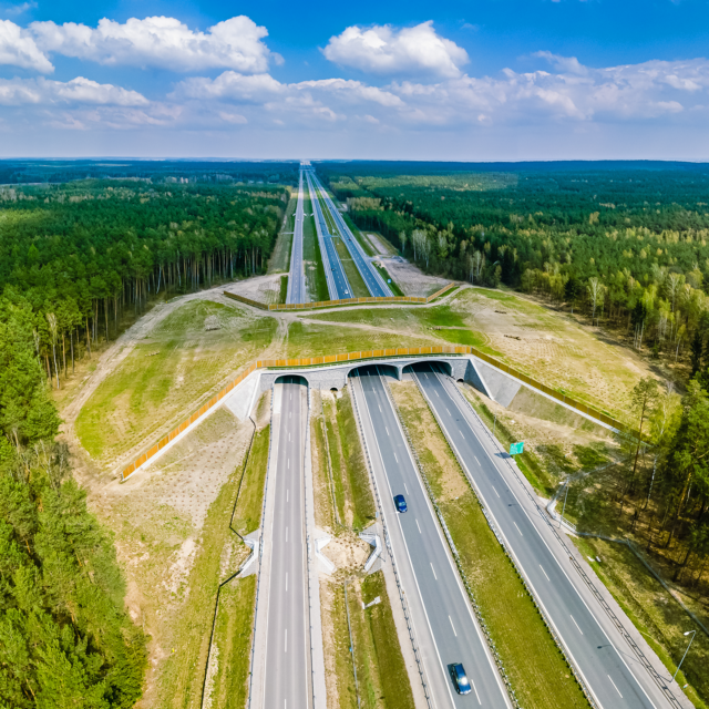
The influence of twentieth century technologies—the automobile foremost among them—created a distinctly American landscape. Along the 2400-mile Ten Across transect, singular feats of engineering allowed previously uninhabitable areas to become magnets for development. These patterns of growth are likely unsustainable on their current trajectories.
Number of lanes on the I-10 in Katy, TX, the widest highway in the world

Available land, subsidized infrastructure, mass-produced housing and high demand made the Ten Across corridor the model of rapid, suburban postwar growth. Affordability continues to be a hallmark.
Phoenix, Houston, San Antonio and Los Angeles: fastest growing U.S. cities by population influx (2010-2019)
The resistance to zoning in the nation’s 4th largest city is reflective of attitudes regarding proactive planning, land regulation, and perceptions of urbanism found in many Ten Across metros. Across the country, addressing issues of resiliency will require more deliberate decision-making.
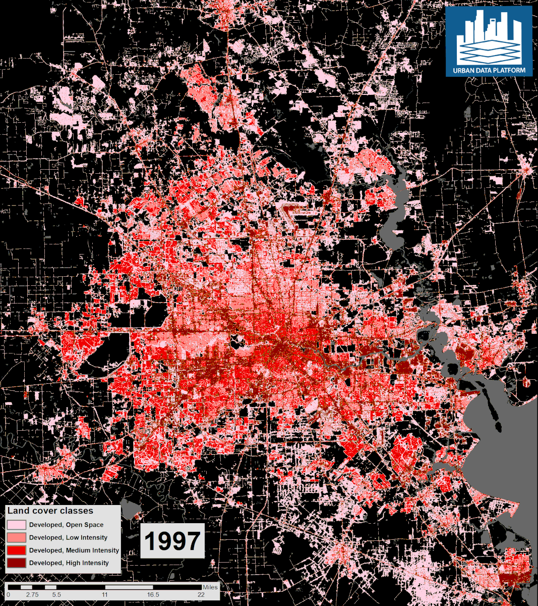
Square miles of land developed in Houston area since 1997
Source Watch Two Decades of Growth in Houston. Kinder Institute Research, Nov. 21, 2017.
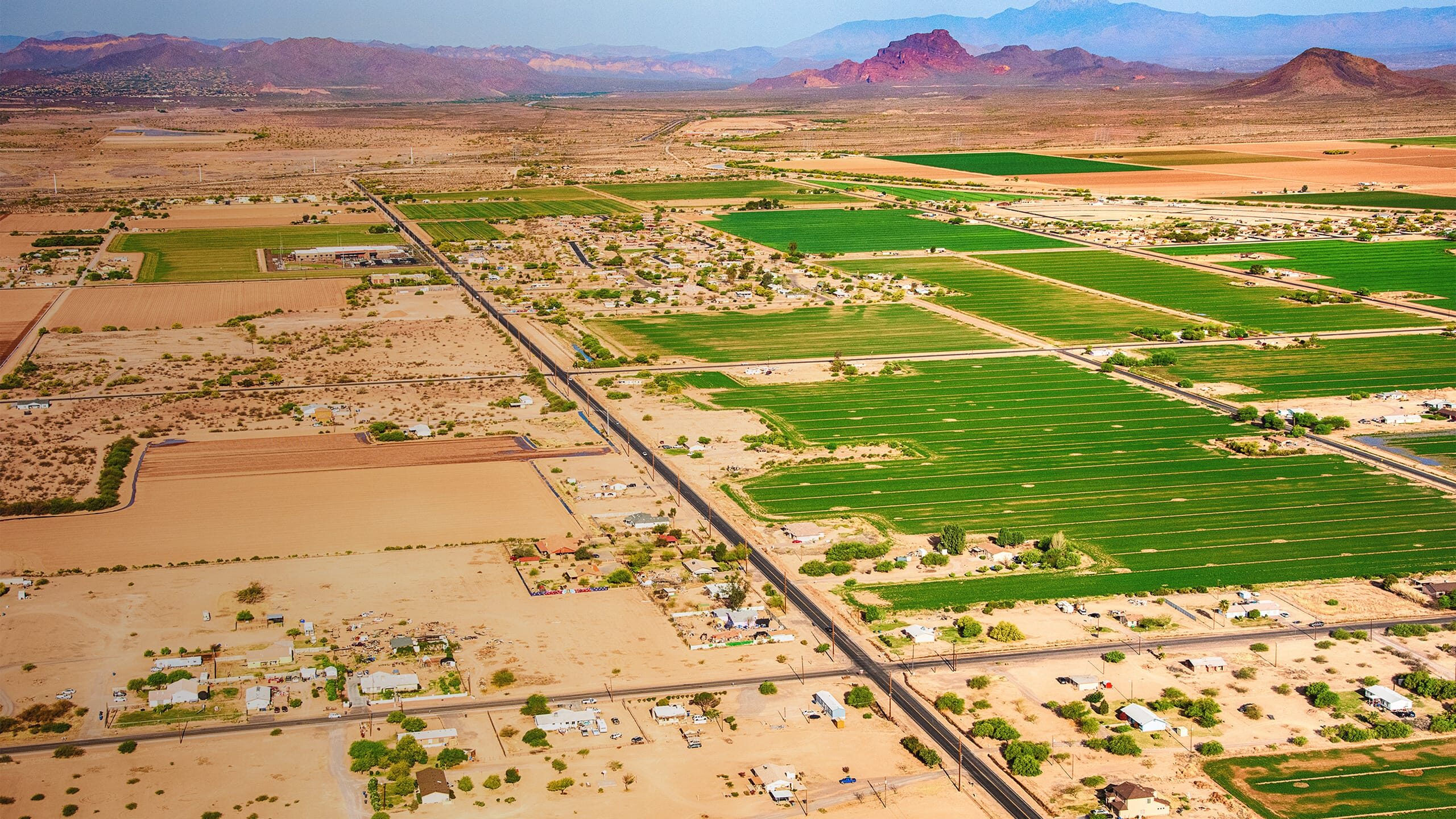
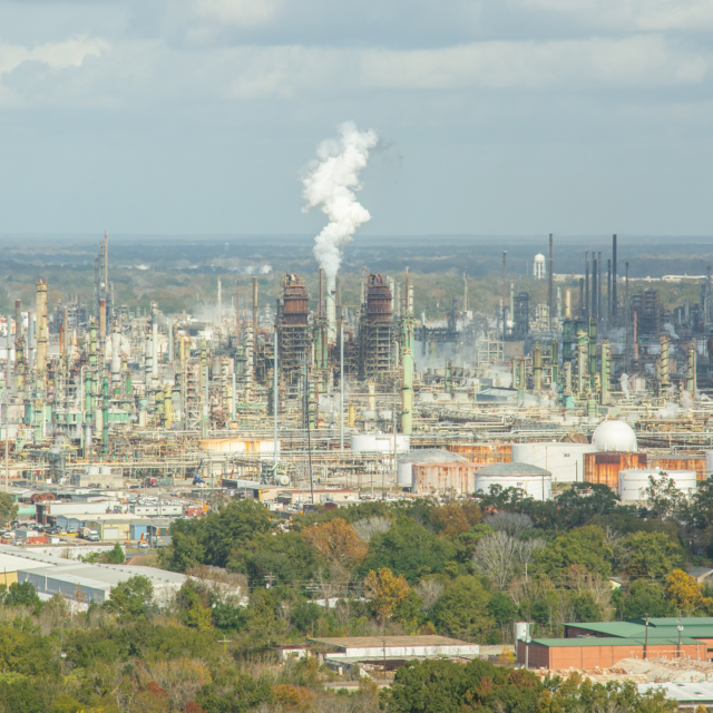
The engineered redirection of remote water sources to arid Ten Across regions makes agriculture possible in unlikely settings. However, the depletion of surface and ground water contributing to land subsidence highlights serious vulnerabilities in this complex system.
Land Subsidence in the Willcox Basin map story. Arizona Department of Water Resources.
Acres of irrigated farmland in the West from a dwindling Colorado River
Population growth in downtown Los Angeles, 2012-2019
Source Downtown Center Business Improvement District Annual Report 2019
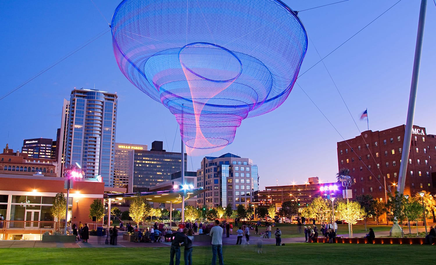
Increase in residents in downtown Phoenix since 2015
Population growth in midtown Houston, 2012-2019
Source Midtown Houston Registers 50% Population Growth. GlobeSt (Lisa Brown), Nov. 6, 2019.

Population growth in downtown Jacksonville, 2010-2019